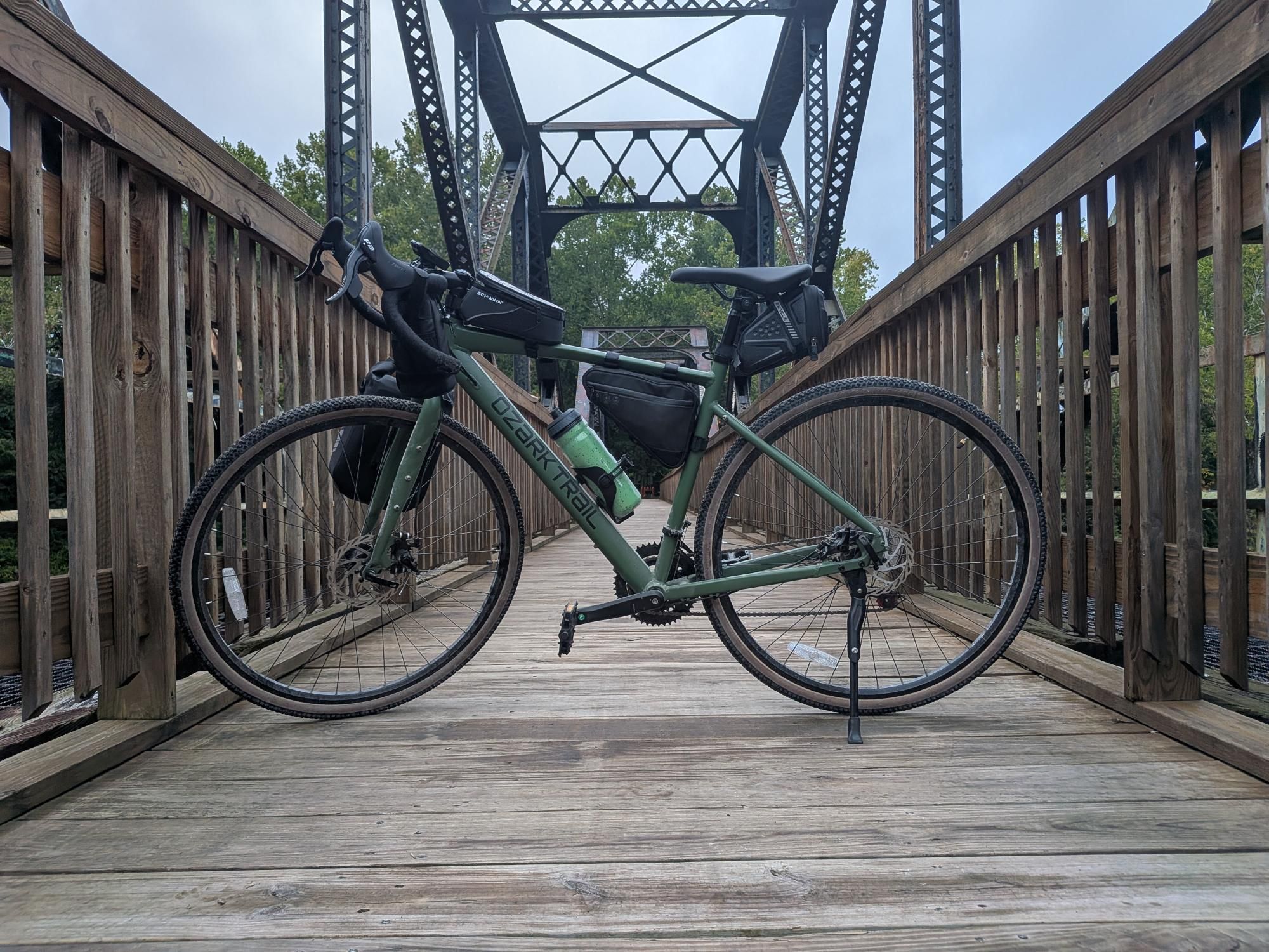
I biked 35.2 miles today bike.
Download the GPX file for this ride
✨ About this Ride
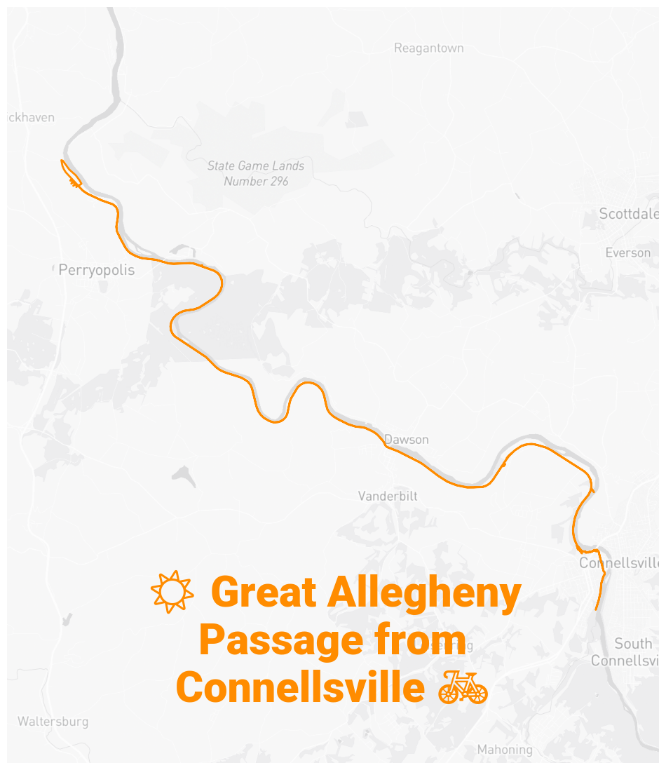
I rode 35 miles of the Great Allegheny Passage during the first weekend in September, from Yough River Park in Connellsville to Whitsett — and back.
👀 Watch the beginning of the ride on YouTube.
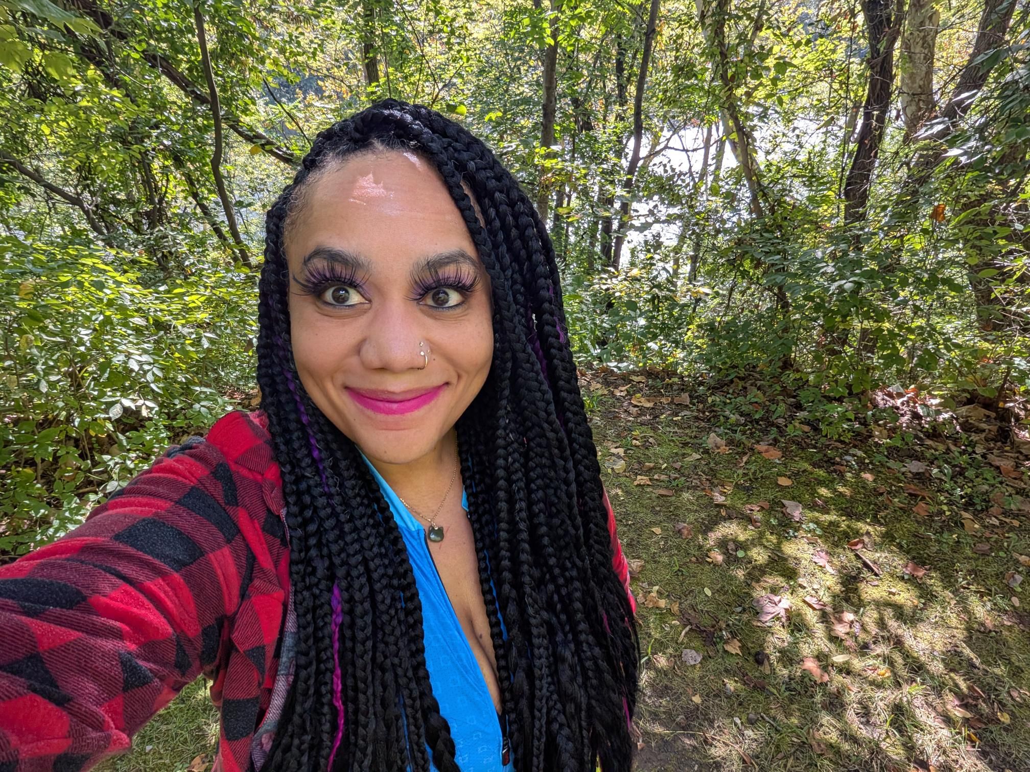
The people I encountered along the trail were friendly and I had pleasant conversations in Connellsville and Whitsett. Most of the people I encountered were near Connellsville. Once I was outside Connellsville, I didn’t see others very often. (I set out around 7am on a Saturday morning.)
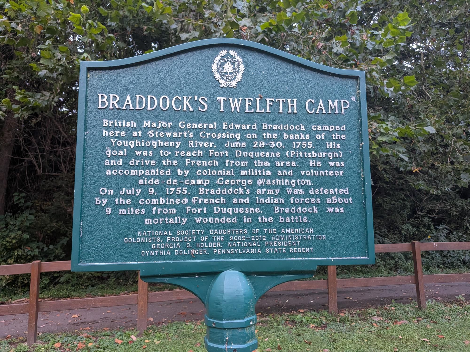
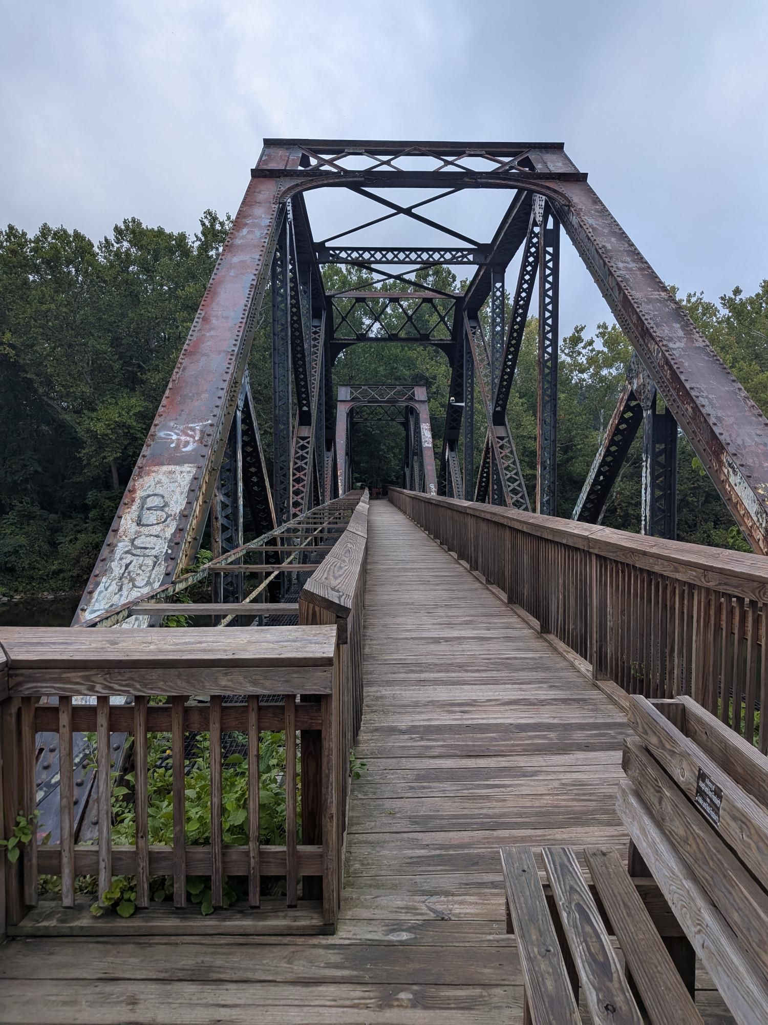
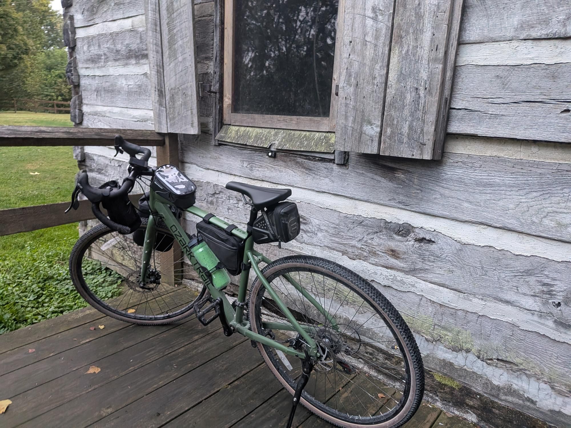
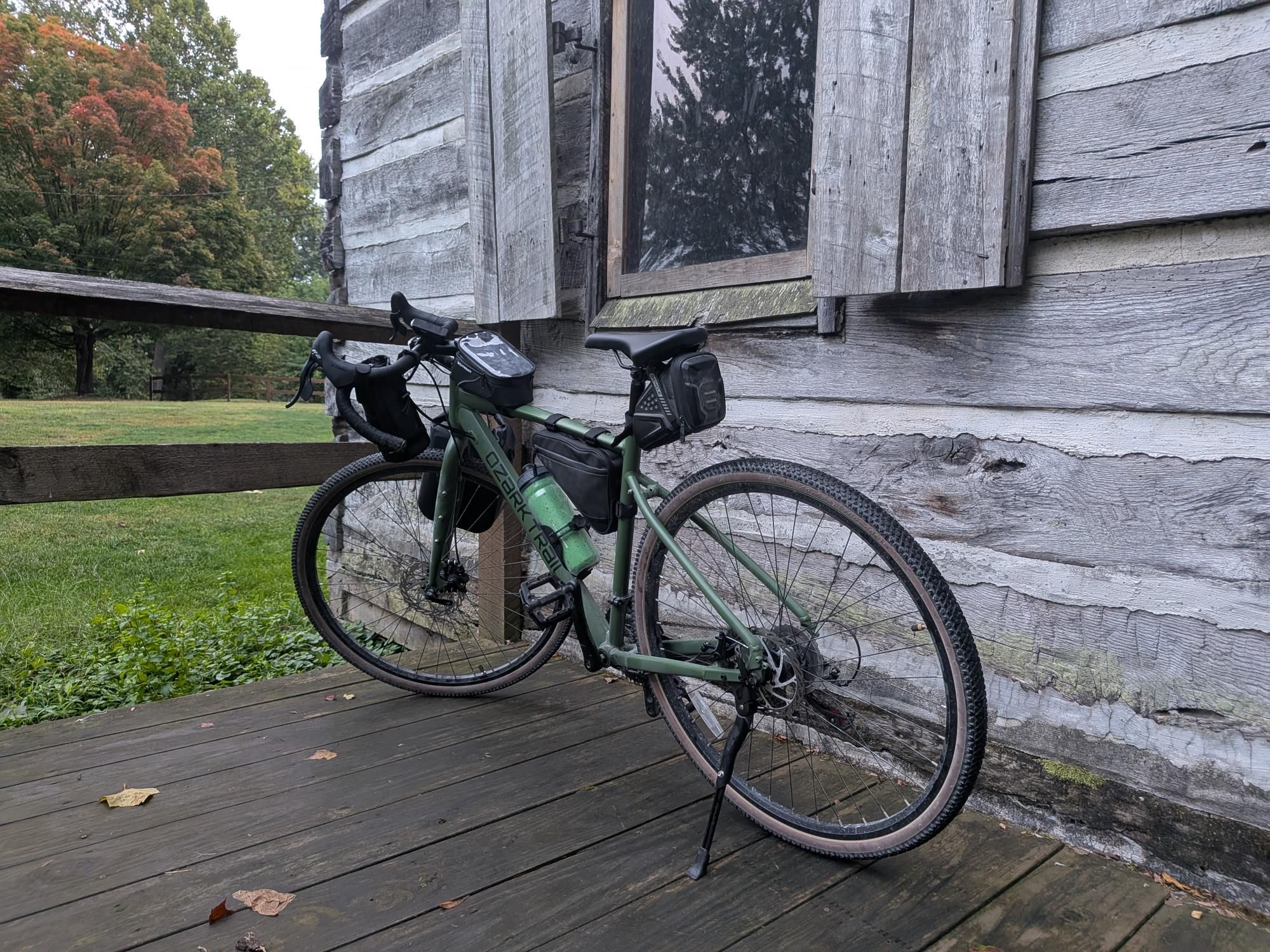
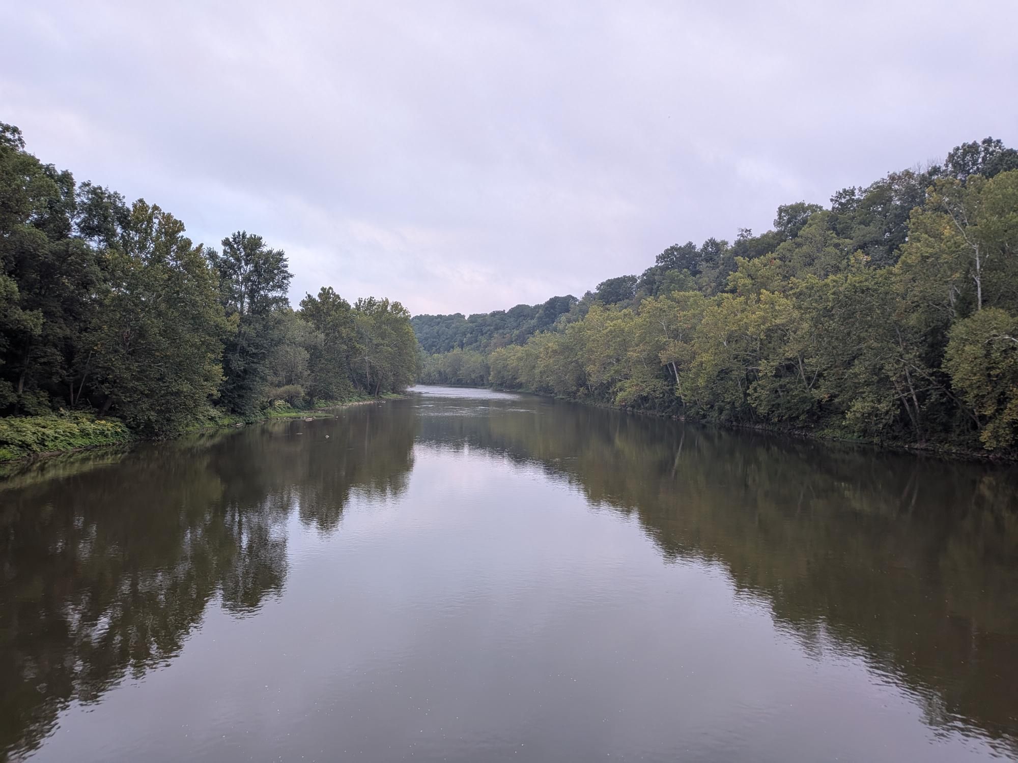
The trail itself was extremely flat. The scenery was beautiful enough to offset the monotony of the trail’s lack of elevation change. The Youghiogheny River and its many islands were visible for the majority of my ride. The trail was in great shape overall. (There was one log in the way that was bothersome enough to ride over that I stopped to clear it.)
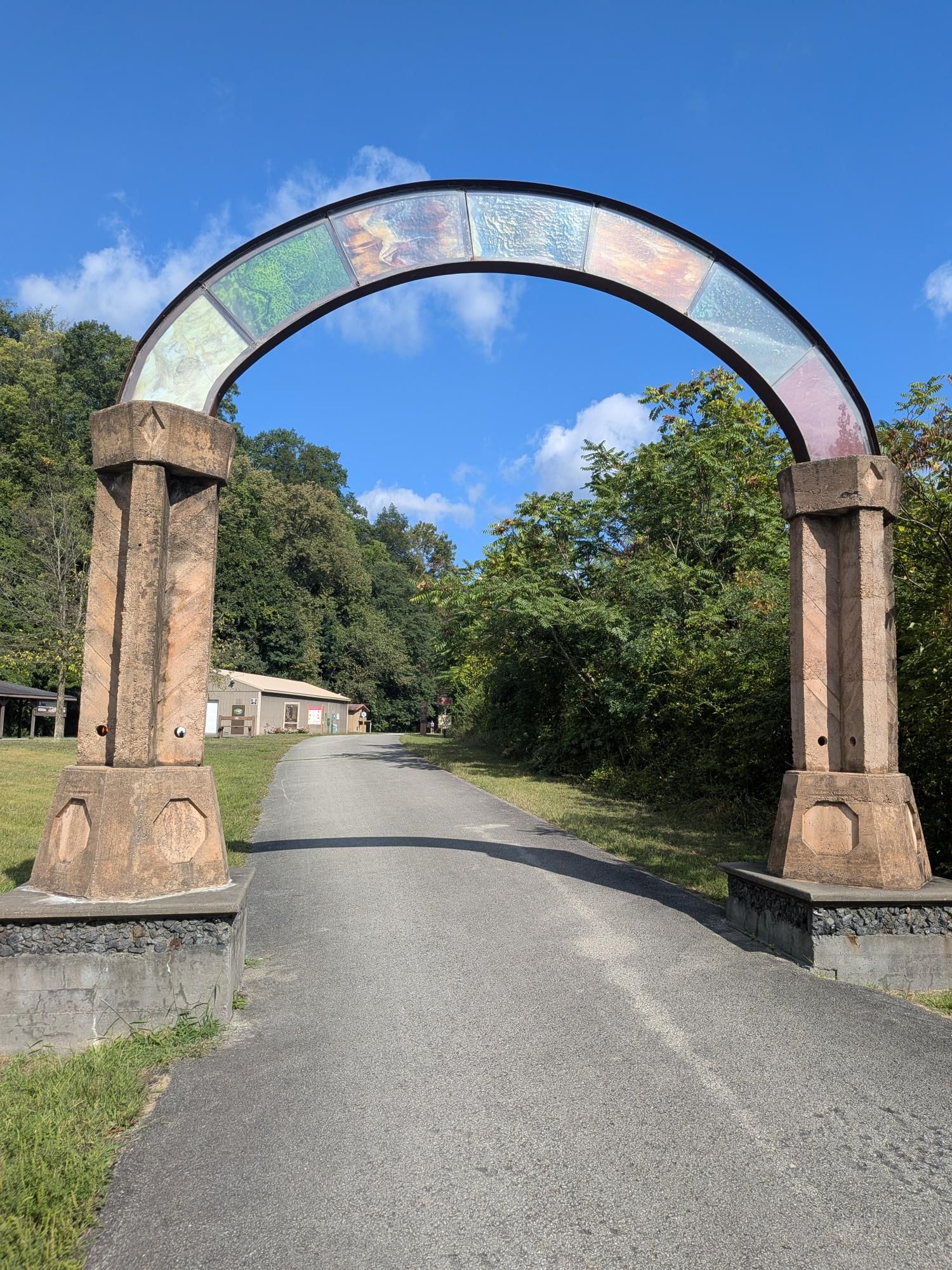
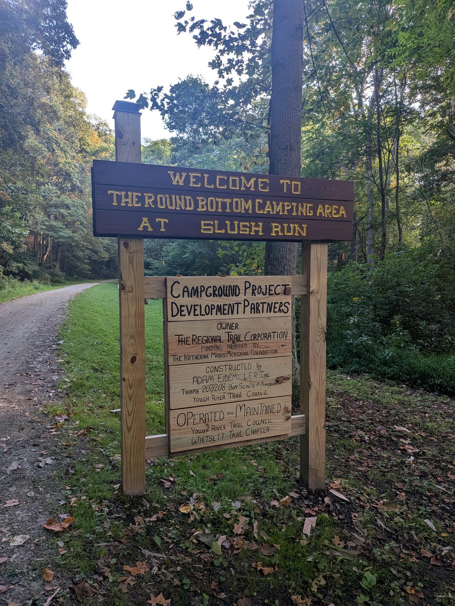
Rolling through the Roundbottom Hiker-Biker Campground was pretty neat! It would make a great stop for a trailside picnic.
The protected bike lane in Connellsville was very nice! As I planned my ride, I was worried about this “non-trail” portion of the GAP. I didn’t realize that it was so well-protected. It was really nice that the bike lane even had its own traffic light.
In Whitsett, I learned that I set out an hour or so before the Pittsburgh CF Cycle for Life event that also started out at Connellsville to bike the GAP!
After my ride, I checked out the information center at the Connellsville trailhead and signed the guest log. I had a trailside lunch right there in park. There are plenty of picnic tables and benches to relax at before driving back home from this trailhead.
🖼️ Photos

You can view the ride on fitness.by.brie.dev or on Strava (if we’re friends).
🤖 Parsed from Strava Data
The content in this section is automatically generated based on data sent to Strava.
📊 Stats and Route Info
- 👍 Kudos | 💬 Comments
- ⏱️ Moving Time: 03:20:12
- 📏 Distance: 35.2 miles
- ⛰️ Elevation Gain: 275ft
- 📍 Start: 40.020361, -79.59916 (View on Map)
- 📍 End: 40.02033, -79.599127 (View on Map)
- 🔋 Average Speed: 10.6 mph
- 🚀 Max Speed: 17.2 mph