I biked 38.2 miles today bike.
Download the GPX file for this ride
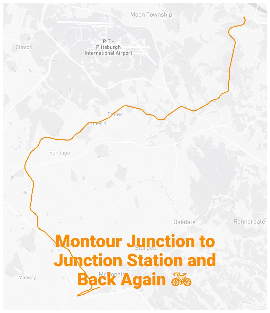
✨ About this Ride
What an awesome ride! That was definitely the toughest ride I’ve done so far and I’m really pleased with my performance!
I started at Montour Trail’s origins in Coraopolis for a few reasons:
- maximize ride time by minimizing drive time
- a desire to get very used to riding Montour Trail
I have a big picture goal of being able to bike from Coraopolis (where I live) to Weirton, West Virginia one day. To support that goal, I want to become very familiar with the portions of Montour I’d traverse on that route.
On today’s ride, I achieved another goal that I’d had in mind: ride form Montour mile zero to the Montour Panhandle Trail Connector!
⛰️ The Climbs
On the return ride, I knew that I just had to make it to Boggs and then I would be golden. I have dubbed the five mile stretch from Fort Cherry to Boggs the Montour Roller Coaster for reasons that might be apparent if you take a look at the elevation change:
🌇 Back to Zero
Dusk had arrived as my ride ended. Losing the light offered some additional motivation to get to the trailhead I started at as quickly as possible.
🖼️ Photos
You can view the ride on fitness.by.brie.dev or on Strava (if we’re friends).
🤖 Parsed from Strava Data
The content in this section is automatically generated based on data sent to Strava.
📊 Stats and Route Info
- 👍 Kudos | 💬 Comments
- ⏱️ Moving Time: 03:24:53
- 📏 Distance: 38.2 miles
- ⛰️ Elevation Gain: 843ft
- 📍 Start: 40.504048, -80.144833 (View on Map)
- 📍 End: 40.504005, -80.144822 (View on Map)
- 🔋 Average Speed: 11.2 mph
- 🚀 Max Speed: 29.7 mph