I biked 35.6 miles today on my 🍵 Green Tea bike.
✨ About this Ride
🙌 I made it to West Virginia! Returning readers will know that I’ve been getting closer and closer to the Pennsylvania-West Virginia state line as I explore the Panhandle Trail.
📋 Prep
As with many of my weekend rides, there was a good bit of prep that I did for this ride. I started planning around midweek with the goal of achieving my goal of biking to West Virginia on Sunday. That meant adjusting my training to make sure I would be well-rested enough for the ride. That also meant investing in a bit of gear.
🧰 Gear
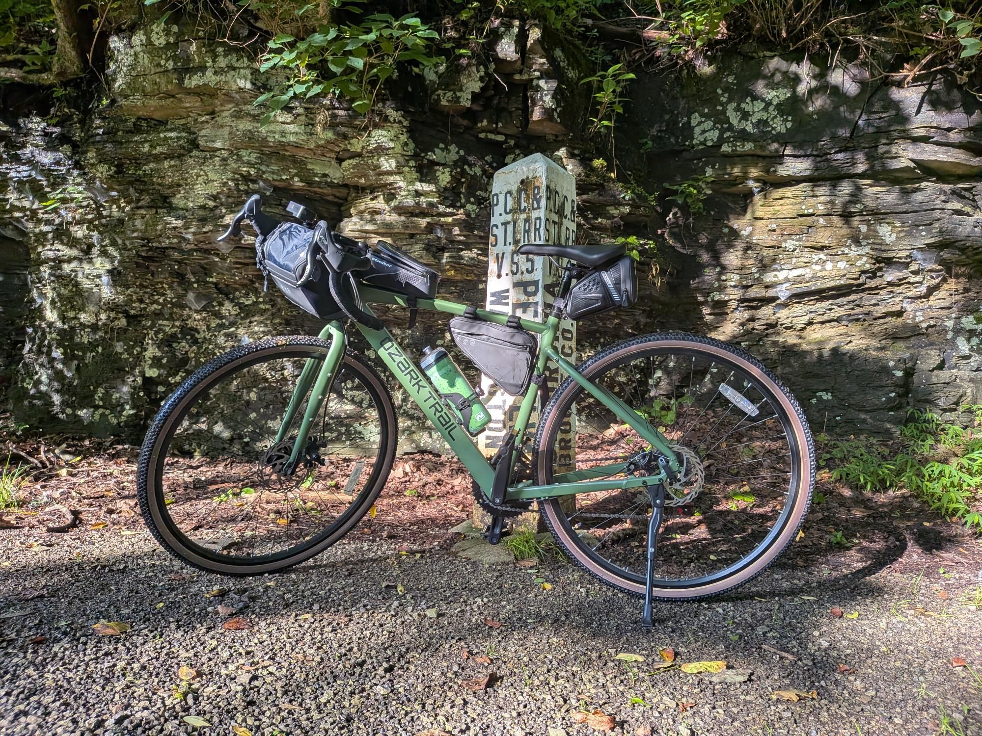
🎒 Bags
I have been using my teal 9L WOLFpak mini backpack on my bike rides. That made sense when I was biking casually. The backpack does restrict my movement on long rides so I decided to replace it. The main thing I was using the backpack for is the rain jacket I carry to ensure that a little bit of rain doesn’t end my ride. I bought a larger (3.5L) handlebar bag to store the rain jacket — and other items. My jacket fits inside with plenty of room for other goodies. This ride to WV was my first backpack-free ride and I am super happy about that!
(I do really love the 9L WOLFpak bag. I just wouldn’t recommend it as ideal for biking.)
📷 Camera Mount
I bought a mount that lets me attach a GoPro to the handlebars of my bike. (This is in addition to the helmet mount for GoPro cameras.)
🧑💻 Bike Computer
After some research, I chose the Wahoo ELEMNT Bolt V2 as my bike computer.
I do not currently plan to use the recordings on the Wahoo device for anything. The purpose of the computer is to provide information during the ride. Despite having a rough route in mind for this ride, I didn’t load the route onto the bike computer. I do plan to do that in the future.
I used the recording on my watch as the official recording for this ride. I like having both devices because it is easier to check the bike computer during my rides and the info from the bike computer is more helpful than the info from my watch.
🚲 The Ride
I decided to start at the Bulger trailhead. I chose this trailhead to give myself a variable ride. I could easily start in Bulger and ride to the PA-WV State Line and turn around. That would be the shortest ride that would get me to West Virginia. I could extend the ride by riding further into West Virginia or by riding past Bulger on the return: I did both.
- I rode from Bulger all of the way into Weirton. I was pretty close to the spot where the Panhandle Trail terminates.
- On the return, I rode past Bulger to Midway and then back to Bulger. I am a climber so I really enjoyed the hill from Midway up to Bulger.
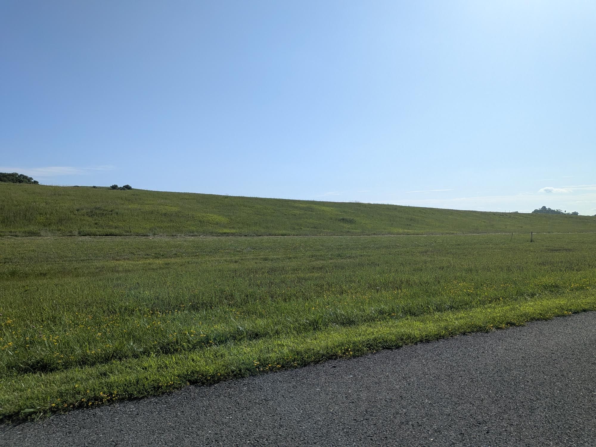
The area where Pennsylvania and West Virginia meet is beautiful. There’s a picnic table for an interstate trailside snack. The landscape along the trail in this area felt especially Appalachian (read: absolutely gorgeous).
🌊 Jack’s Bike House
I refilled my water bottle at Jack’s Bike House (map). I noticed the welcoming water station on previous rides but hadn’t stopped before an empty water bottle stopped me on today’s ride. The water refill station is along the Panhandle Trail just across Bulger Candor Road from the Bulger trailhead. I left a note on the markerboard outside. Folks from as far away as Arizona and China have also left notes.
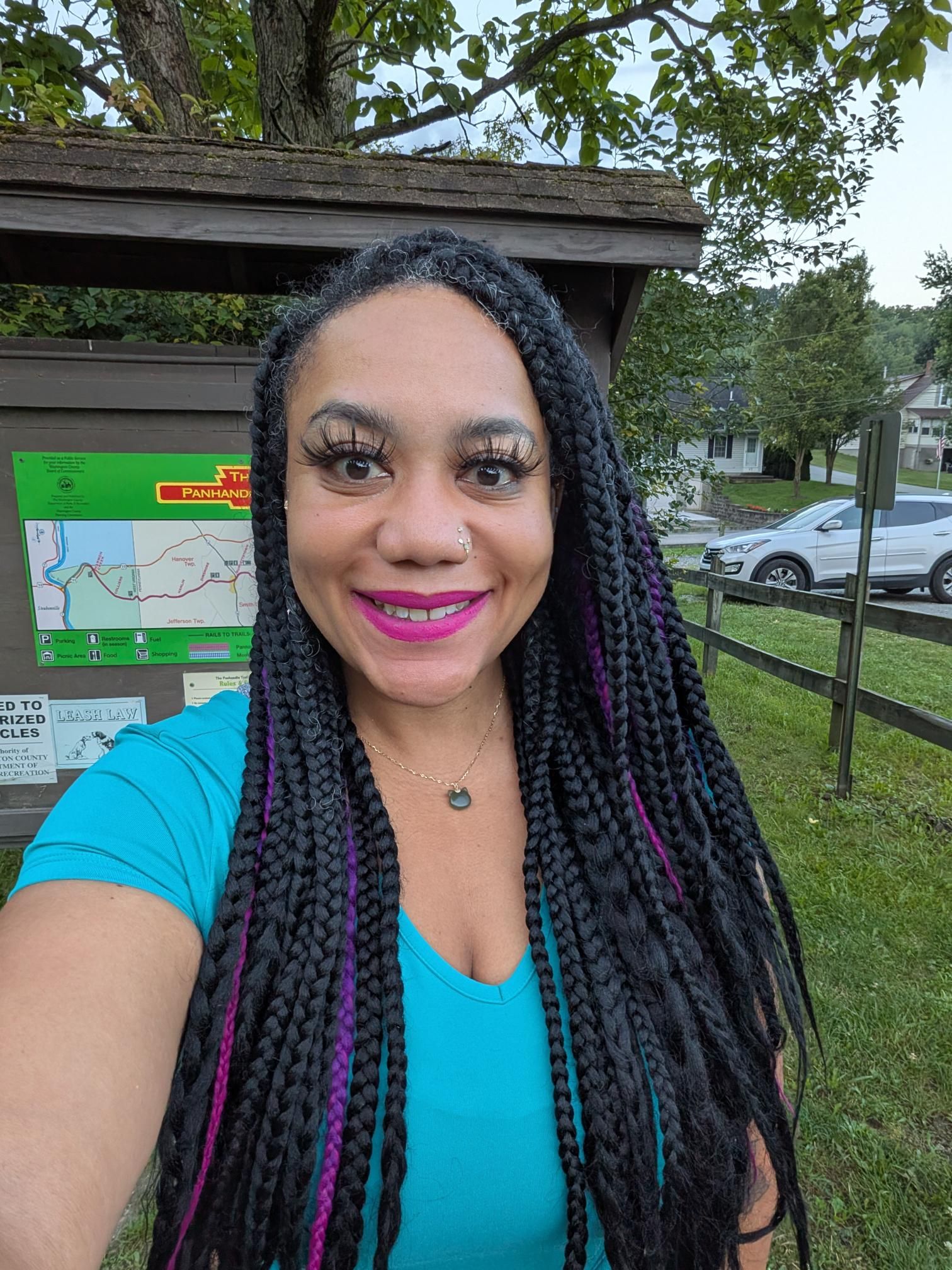
🖼️ Photos
You can view the ride on fitness.by.brie.dev or on Strava (if we’re friends).
🎧 Soundtrack
You can see the songs I listened to during this ride on effortly.
🤖 Parsed from Strava Data
The content in this section is automatically generated based on data sent to Strava.
💬 Description
🧪 Weather Impact: High humidity and warmth made exertion feel heavier; gentle winds offered slight relief.
☁️ 44% | 🌡️ 70°F - 77°F | 💨 33
📊 Stats and Route Info
- 👍 Kudos | 💬 Comments
- ⏱️ Moving Time: 03:05:41
- 📏 Distance: 35.6 miles
- ⛰️ Elevation Gain: 711ft
- 📍 Start: 40.377446, -80.324184 (View on Map)
- 📍 End: 40.377497, -80.323885 (View on Map)
- 🔋 Average Speed: 11.5 mph
- 🚀 Max Speed: 19.2 mph
👑 Segment Efforts
-
Bulger to the Border: 00:56:21 ()
-
Bulger peak to Rt 18: 00:14:36 (PR!)
-
Mile 13 - Mile 14: 00:04:27 (Top 2)
-
Mile 14 - Mile 15: 00:04:03 (PR!)
-
Mile 15 - Mile 16: 00:04:04 (PR!)