I biked 19.7 miles today on my 🍵 Green Tea bike.
✨ About this Ride
This was an impromptu ride. I was not quite feeling it at the beginning of the ride. By the end of the ride: I felt amazing! I’m especially proud of myself for pushing through when I wasn’t super excited. (I didn’t push too hard.)
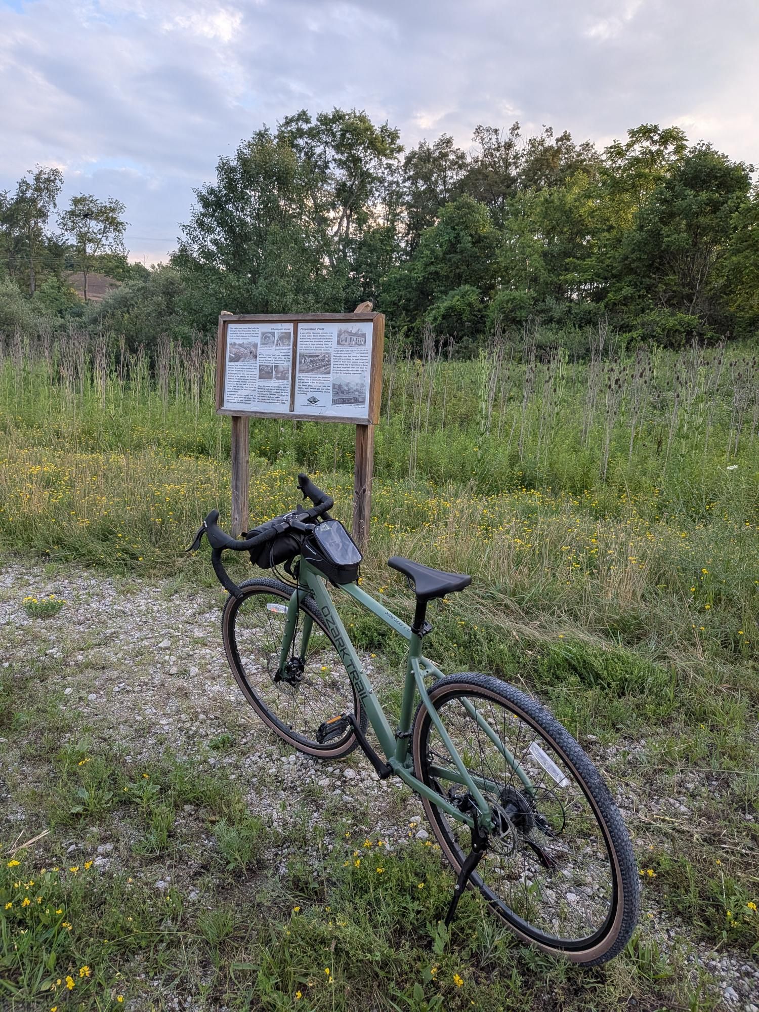
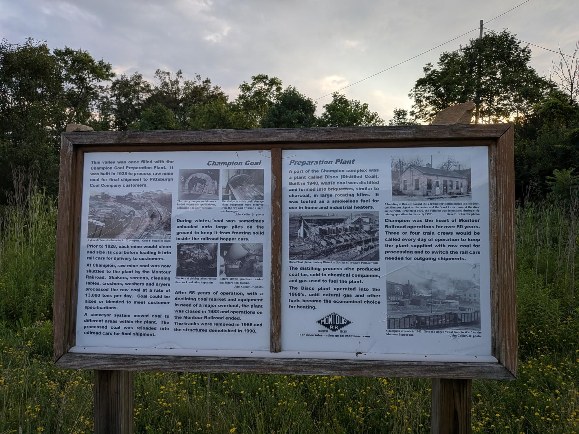
This ride was a bit unique in that it was a partial buddy-ride with Drew. We rode Montour together from near Enlow to Boggs. At Boggs, I continued onward to Champion and he turned around. These facts structured my ride pretty significantly. I sped the return (and descent) from Champion back to Enlow. Knowing he was on the trail far ahead of me motivated me to ride as fast as possible to try to catch him — or at least reduce the distance between us as much as possible. I rode as fast as I trusted the bike and had a lot of fun doing so.
Since I had a ride home, I was able to start and end the ride at different points. I ended this ride at mile 0 of Montour Trail, a favorite spot of mine. I was just shy of 20 miles by the time I arrived at the trailhead. I resisted the impulse to ride around aimlessly until I got to 20 miles.
All in all, I am very pleased with the biking I was able to accomplish after a full day of work.
🖼️ Photos
You can view the ride on fitness.by.brie.dev or on Strava (if we’re friends).
🤖 Parsed from Strava Data
The content in this section is automatically generated based on data sent to Strava.
💬 Description
🥅 I focused especially on speed on the ride from Champion to Coraopolis. I rode as fast as I trusted the bike. The big curve at the end was a lot of fun for a final sprint!
🧪 Weather Impact: Overcast, warm, and humid conditions made exertion feel heavier, but visibility was good.
☁️ 75% | 🌡️ 73°F - 76°F | 💨 49
📊 Stats and Route Info
- 👍 Kudos | 💬 Comments
- ⏱️ Moving Time: 01:42:26
- 📏 Distance: 19.7 miles
- ⛰️ Elevation Gain: 334ft
- 📍 Start: 40.456951, -80.183093 (View on Map)
- 📍 End: 40.50337, -80.144604 (View on Map)
- 🔋 Average Speed: 11.5 mph
- 🚀 Max Speed: 26.4 mph
👑 Segment Efforts
-
Mile 5 - Mile 6: 00:05:17 (Top 3)
-
Cliff Mine Road - Boggs: 00:32:17 (PR!)
-
mile 6 to mile 7: 00:05:26 (Top 2)
-
Mile 7 - Mile 8: 00:04:35 (PR!)
-
Mile 8 - Mile 9: 00:05:39 (PR!)